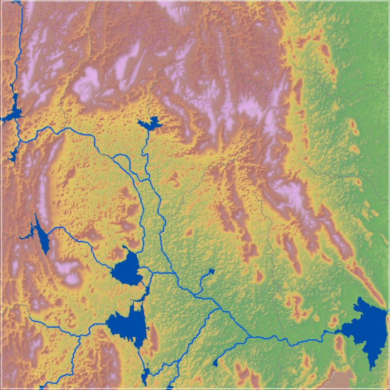
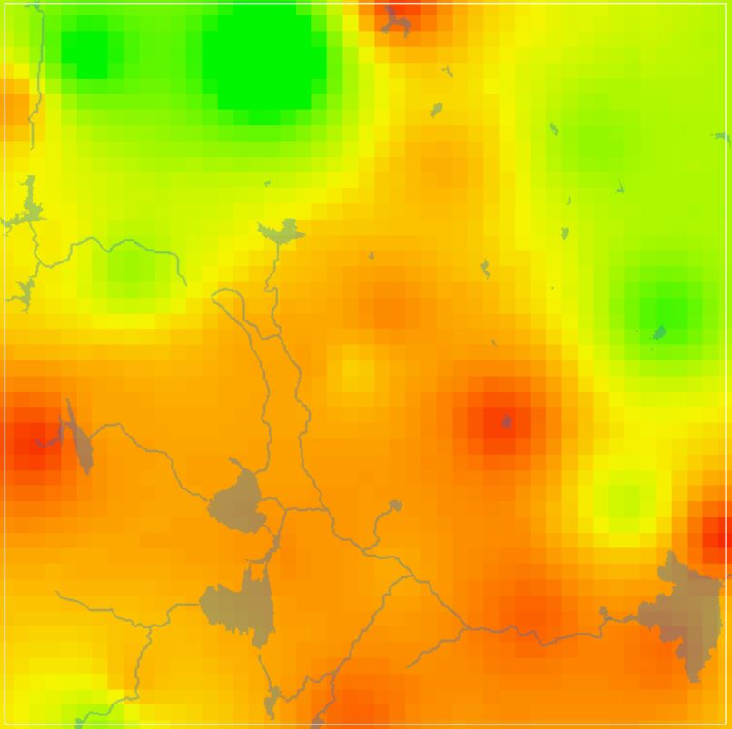
SRTM Digital Elevation Model (DEM)
The Shuttle Radar Topography Mission (SRTM) was flown aboard the space shuttle Endeavour February 11-22, 2000. The National Aeronautics and Space Administration (NASA) and the National Geospatial-Intelligence Agency (NGA) participated in an international project to acquire radar data which were used to create the first near-global set of land elevations. SRTM 1 Arc-Second Global elevation data offer worldwide coverage of void filled data at a resolution of 1 arc-second (30 meters) and provide open distribution of this high-resolution global data set.
Dataset
(1) SRTM DEM Data - 30m (2) SRTM DEM Data - 30m ClipSource: U.S. Geological Survey (USGS), EarthExplorer. https://earthexplorer.usgs.gov/
Dimension: 1920x1080
Format: JPG
Related images
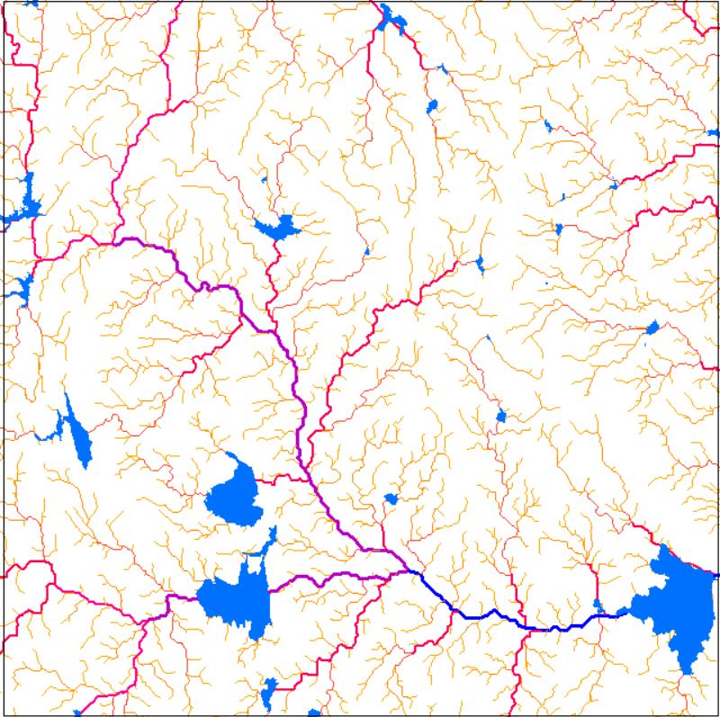
Drainage Network
View more
16 Oct 2020
Drainage Network
Perfumes
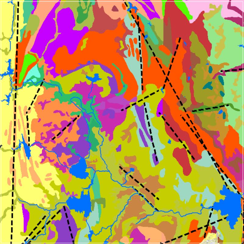
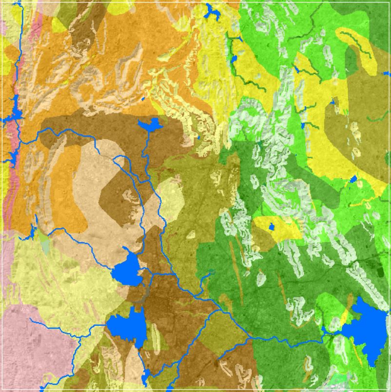
Geomorphology
12 Oct 2020
Geomorphology
NDVI Vegetation Indices
View more
8 Oct 2020
NDVI Vegetation Indices
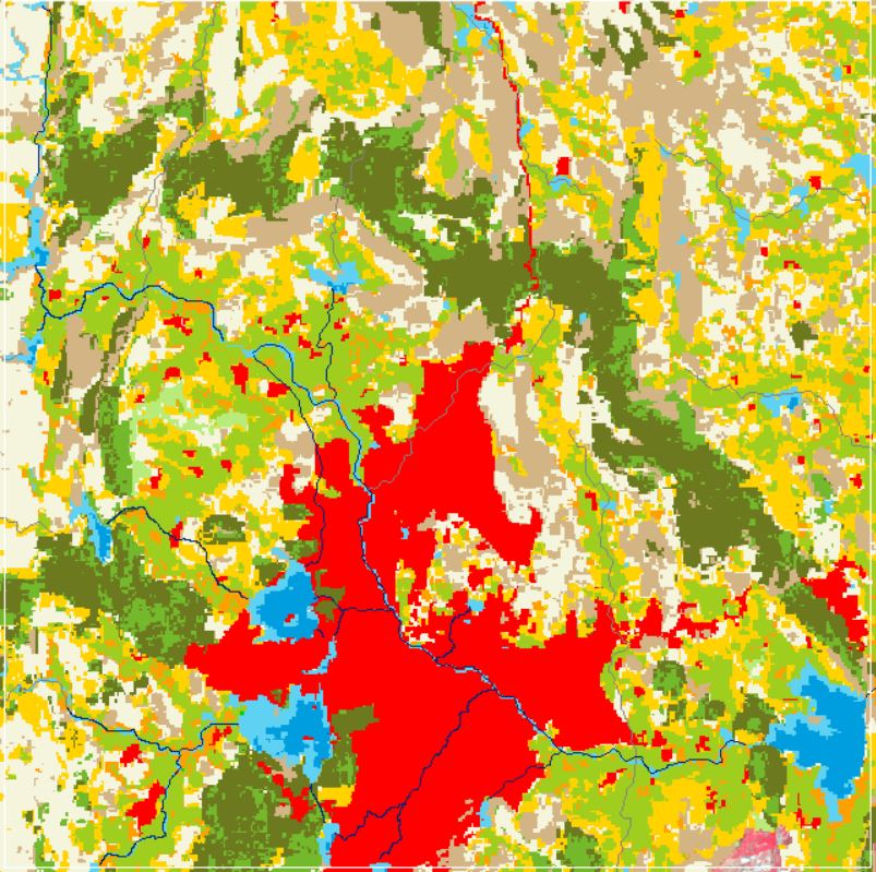
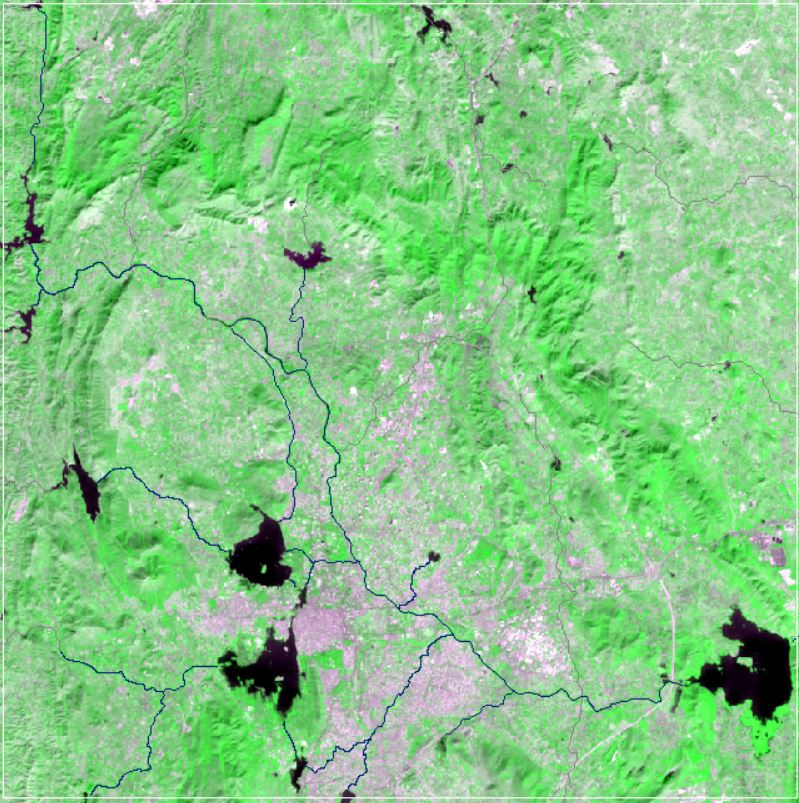
Land Use and Land Cover
View more
6 Oct 2020
Land Use and Land Cover
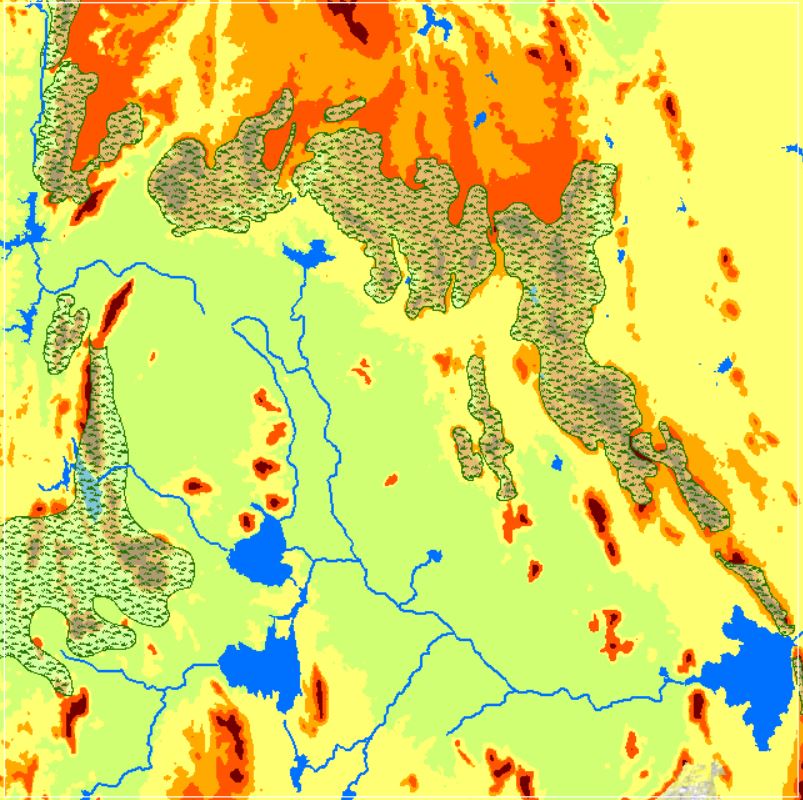
Landforms
View more
26 Sep 2020
Landforms
GW DTWL Data
View more
22 Sep 2020
GW DTWL Data
Soil Texture Data
View more
12 Sep 2020
Soil Texture Data
SRTM Digital Elevation Model
View more
4 Sep 2020
SRTM Digital Elevation Model